They leave.
Very sensibly, the owner of the guesthouse / restaurant / bar in which we stayed spends only the tourist season in Reykjavik – about 3 months – then leaves for his other home, a fishing village in south-east Spain. His barman has a similar strategy – he moves to Thailand for the duration. Is there a lesson for us here?
After a very nice combined breakfast / lunch in the “Postinn”, we hit the road in a Suzuki Jimny – a small jeep only just large enough to hold both us and our luggage (over the course of our trip, we’ll be compelled to reject a dozen or so hitchers through sheer lack of space). Although the cabin is small, it does have two all-important elements – much better ground clearance than a car, and full four wheel drive.
Leaving the capital, we head northward and eastward, towards our first stop,
Thingvellir. Quickly, we find ourselves in open countryside. There are no walls, ditches or trees to obscure our view, so we can see for miles – lots of open land, somewhat similar to Scotland, in places like Rannoch moor, or to Connemara in Ireland. The hills in the distance don’t fit though – suspiciously cone-shaped. This area has seen very heavy volcanic activity in the past, and many of the hills are actually the cones of extinct volcanoes. Although the grazing did not look especially, good, we saw quite a few Icelandic horses – shorter than the animals we ride, and with very heavy coats and manes. This makes them look a little toy-like to us, but appearances are misleading: these tough little beasts are still used by farmers to ride into the wild interior of the country at the end of the summer (it can snow in August, so the local definition of “summer” is a little looser than ours!) to round up the sheep and bring them back to the lowlands. These little horses can cope with terrain that defeats a jeep – and these farmers drive big jeeps.
Thingvellir is unmistakable – the road passes straight over the fissure, so after crossing from the North American tectonic plate to the European, we parked the Jimny and returned to the Americas on foot. The divide is an amazing place – it is one thing to see the rift on charts and maps, another to stand with one foot on each continent. The rocks themselves look suitably impressive – they are basalt, and the tugging-apart has left sharp cleavage planes, so that the sides of the rift are impressively craggy.
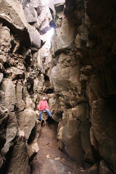
In places, the rift is barely wide enough to squeeze through, but in others is very broad and open – this is where the democratic assemblies which later formed the basis for our own parliament were held, in the open air. It seems very strange that such a violent and piratical people could have been responsible for developing and spreading the democratic ideal. I can’t fault their choice of location – not only is it a very impressive place, but depth of the floor of the fissure below the surrounding landscape does a very good job of keeping out the chilly wind that is rarely absent in this country.
Moving on, we noticed that the ratio of ordinary cars to jeeps had shifted decisively in favour of the jeeps. It wasn’t long before we saw a sign “Malbrik Endar” – incomprehension shortly became understanding, as the tarmac abruptly vanished, and we found ourselves bouncing along a rough and dusty track.
Eventually, we rejoined a tarmac road, and made steady progress towards the interior. Suddenly, in front of a rocky outcrop, a huge puff of white shot out of the ground – Geysir! Actually, it wasn’t Geysir itself – the original is now defunct – but a close neighbour, Strokkur. This was our first close-up encounter with volcanic / geothermal features, and we took our time, strolling through sulphurous clouds of steam past bubbling pool – some were very clear and blue, and we could see into the underwater tunnels that fed them. Strokkur gave us the most fun – the level of water in the pool continually fluctuates, and by watching carefully it is possibly to tell when an eruption is imminent. Even though I was waiting for it, I was always surprised by the blast – first, a huge dome of blue water rises up, and then bubbles of superheated steam reach the surface and blast the liquid water into a huge white jet, which then dissolves into cloud. There are often “false alarms” – minor eruptions which fizzle out, often leaving spectators unprepared for the explosive gush of the main event. I find geysers much more entertaining than waterfalls – the element of unpredictability and surprise is the key.
Not that I don’t like a good waterfall – in fact, our next stop was to be Gulfoss. Nearing these falls, the road was rising onto a plateau through which the river which made Gulfoss has carved a canyon. Coming over a rise, an immense panorama opened up all at once – we were ambushed by an immense panorama.
We descended to a level within the canyon that is below the surrounding plain, but high above the based of the second cascade. The canyon is full of mist and thunder, and the bare basalt walls reveal the tremendous cutting power of the river. This river was fed by water from the huge icefields we had just seen – even in their melting, the glaciers can wreak havoc on the hardest rock.
We stayed a long while standing in the spray of Gulfoss, before refueling and moving off into the desert, heading for the Arctic Ocean via the Kjolur route which traverses the highlands along (roughly) a north-south axis. The road here is a track of variable quality, which leads through a desert empty of human habitation. Emergency shelters are scattered along the route – Miss C recorded their positions in the GPS unit as we passed. Evening was falling, but slowly, as we crossed the first plane and climbed the first hills, passing ravines that still held the last of the winter’s snow. Ahead, the jagged peaks of Kerlingarfjoll rose up, the snows on their upper reaches catching the last of the sun. We saw huge sandstorms wandering in the distance, and a large lake fed by icebergs tumbling from a massive glacier, its huge bulk in apparent retreat from a warming climate. Neither of us had ever been to such a wild and empty place, where only the cold, cold wind breaks the silence.
As we drove, we were usually entirely alone. We did see a few vehicles, all heading south – these would appear in the distance first as a dust cloud. Closer, we would see the nucleus of the comet racing towards us – this was always a superjeep, or convoy of superjeeps – Icelandic folk returning home from a weekend “jaunt” across the icecap, or similar insanity.
Night caught up with us as we moved through an upland boulder field. We had bypassed several campsite turnoffs, holding out for a warm bunk at Hveravellir. Sure enough, just when I had begun to despair of finding the place, up ahead in the distance Miss C spotted a glimmering light. Both very tired, this was where we stopped for the night, very glad not to be pitched a tent on a stony and freezing plain (the last few miles, small banks of snow bordered the track). The last fifty miles of that drive took about 2 hours 45 minutes, which may give the reader an idea of the kind of road we were driving on.
No comments:
Post a Comment